1 tools tagged “Drone Imagery”
Showing 1 tools
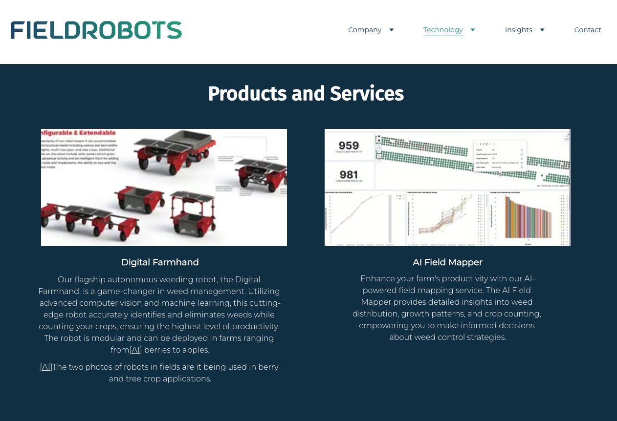
AI-driven field mapping for precision agriculture and smarter resource use.